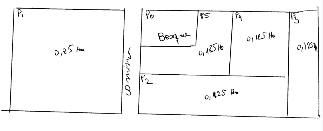
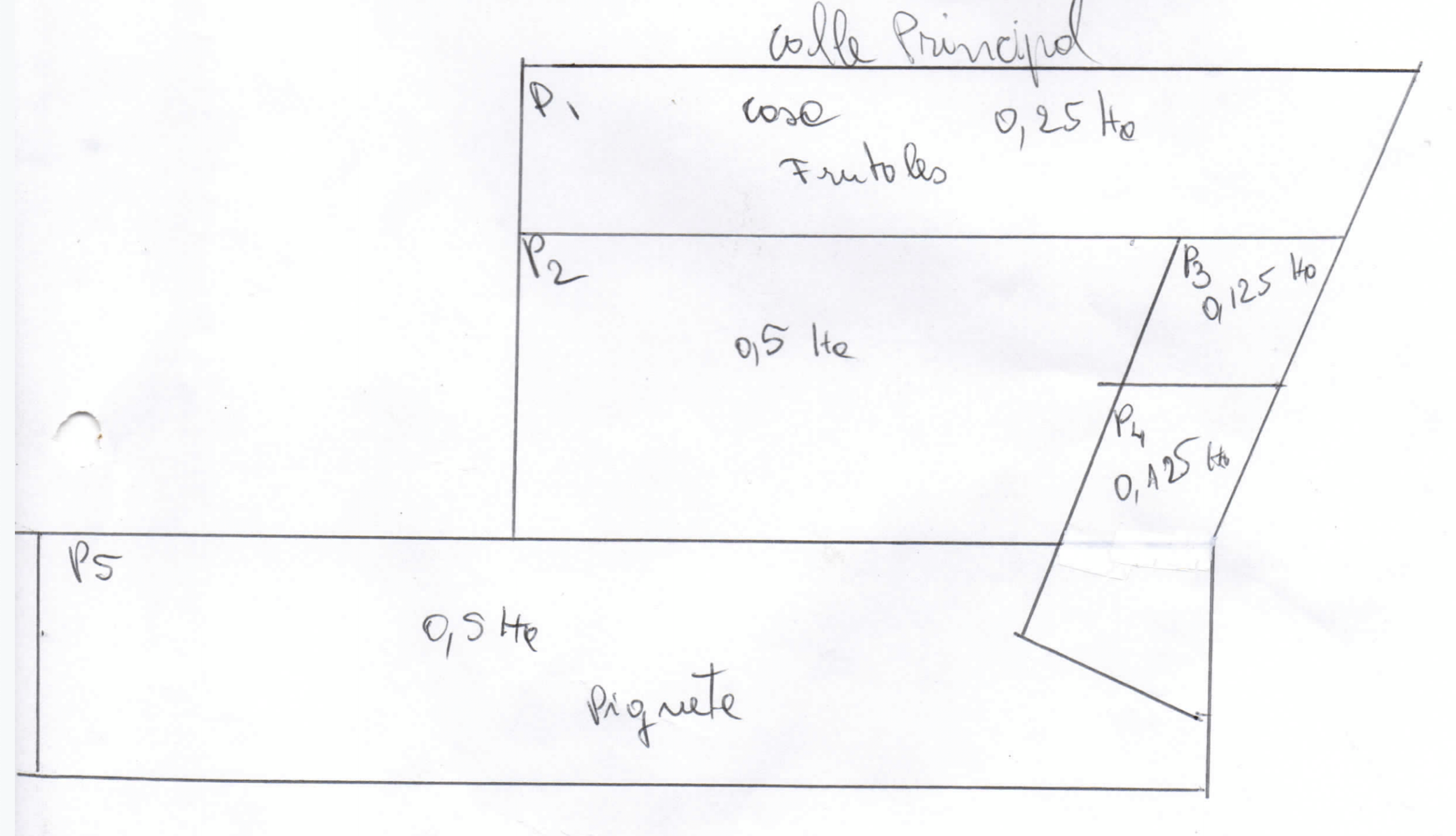
Traditional farm maps serve many purposes on the farm, from getting the team synced up at the morning meeting, to communicating information to new workers, to providing documentation for certifiers, they are a central part of managing a farm. However, they are decidedly low tech. Here are a few examples of maps that farmers submit to their certifiers in Latin America:
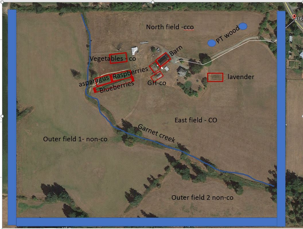
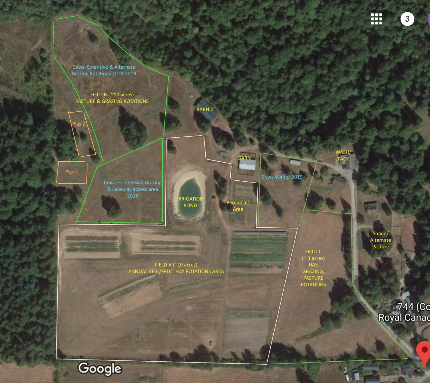
Even larger, more complex operations typically have their farm maps on a whiteboard or on a laminated poster.
By moving farm maps from these mediums into a digital format, we add even more utility for our users. Users will be able to do the following in their digital farm maps:
Navigate around their farm by dragging on the map
View existing areas, lines, and structures
Add new areas, lines, and structures
Selectively displaying (filtering) which layers they see on their map
Export or share their map